This is Ground Cover – your weekly guide to British nature conservation. Not a member? Subscribe today.
Nothing is quite as distracting as a good dataset. This week presented one in the form of Natural England's new Peatland Restoration Register – a list of projects aiming to save this most precious and ancient of habitats across England. Seeing all these projects in one place is fascinating. The trouble was, I couldn't actually see it.
The page announcing the register said that the data would be uploaded as a layer onto the England Peat Map. But when I looked, it wasn't there. (I am guessing I was a bit too eager and the staff hadn't got around to it yet, as it had appeared when I checked this morning.)
So I started playing with the data. Before I knew it, several hours had passed. By late Thursday afternoon, I had not written much of this newsletter, but I did have a fascinating interactive map of every recorded peatland restoration project in England.
You can see it for yourself in today's edition – you'll need to read it online for the full version. I think it's much prettier and user-friendly than the Natural England version, but do judge for yourself.
The rest of the newsletter – which I did eventually manage to write – includes:
- Plans for the UK's largest beaver enclosure
- An anonymous warning from senior food executives
- A lifeline for rare whitebeam trees
- The rise of mega-dairies
Got a dataset you'd like to see in Inkcap? Let me know!
National news
Funding | The Labour Party Conference took place last weekend in Liverpool, with plenty of nature-related announcements. Most notably, environment secretary Angela Eagle pledged £79m to help local communities restore nature and adapt to climate change. Of this, £53m will fund the planting of up to 500,000 trees over the next three years. The tree-planting will target streets, parks and other areas outside woodlands, helping to protect against extreme weather and boost biodiversity. The remaining £26m will fund Local Nature Recovery Strategies. Eagle said this ‘community-led approach’ will put decisions in the hands of people who ‘know their green spaces best’. Environmental organisations called the plans ‘very encouraging’, and Craig Bennett of the Wildlife Trusts said that ‘the mood could not be more different’ from under previous Labour leadership. The Guardian, Farmers Guardian and ENDS covered the news.
Water | Meanwhile, Andy Burnham outlined plans for a decade-long overhaul of the water industry in his conference speech. Burnham promised to bring a strengthened Water Bill to Parliament, which will remove the current statutory limits on government ownership of shares in water companies. This ‘historic change’ will give the government more flexibility for future interventions, including changing ownership models. Burnham also announced greater powers for mayors to hold water companies to account, with tougher consequences for repeat offenders. Organisations including the Wildlife Trusts welcomed the announcement, although the Rivers Trust warned that nationalisation was not a ‘silver bullet’, and called on the government to broaden its focus to regulating the whole water system, including agricultural run-off and climate change-induced pressures. The news was widely covered.
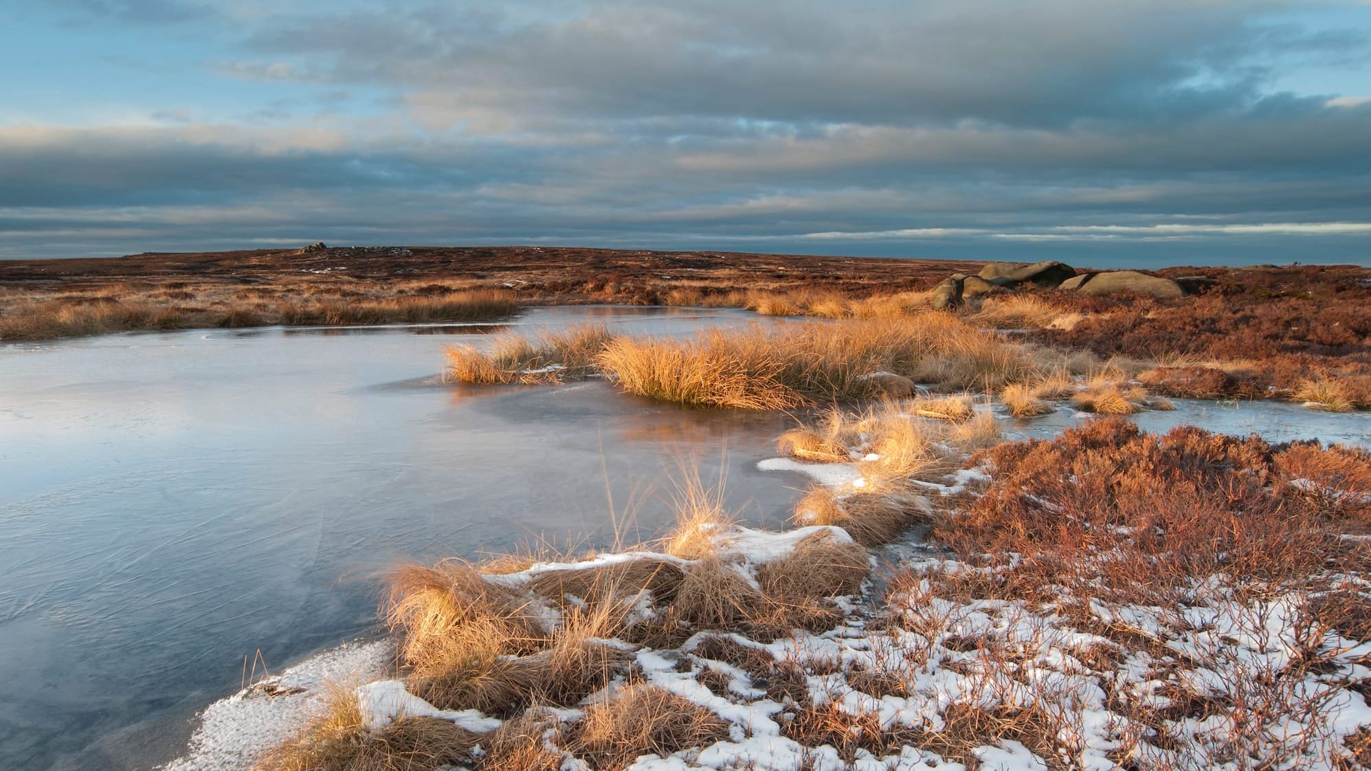
Peat | The government plans to restore 280,000 hectares of peatlands across England by 2050. But how to track progress? A new Peatland Restoration Register, created by Natural England, brings together three databases, showing the extent and characteristics of different peatland projects across the country. The area under restoration amounts to some 29,240 hectares to date – around 10% of the ultimate target. A corresponding report outlines the methodology behind the dataset and highlights some key statistics. The dataset has been added to the England Peat Map. We have also turned this fascinating resource into a more user-friendly interactive map of our own: head to the online edition of this newsletter to browse the data in depth, including who’s behind each project and the exact habitat being restored.
Our best journalism is for our members.
Sophie here. I spent a whole afternoon studying the data and fiddling with this map, so I could make something both beautiful and useful. Members can explore the interactive version: zoom in to see each site's boundaries, click for details of who's restoring it and how, and filter by habitat. Our 882 paying subscribers mean I can invest this time. Join them to explore the map, and help us expand our independent environmental journalism.